From truck stop to Amado. AZ
This section of the trip was kind of interesting. 277 miles. We left the truck stop at 6:30 and arrived at RV park in Amado at 12:00.
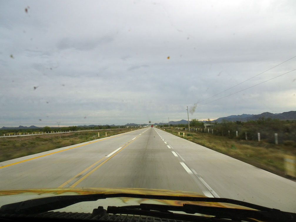
It was just getting light when we started out yesterday morning. And it remained dark and cloudy most of the way to here.
The road from The Fletcha Truck Stop to the Hermosillo Bypass was excellent.
The entrance to the bypass is well marked. 7 Kilometers before the entrance there is a BIG sign telling the trucks the MUST use the bypass. Then there are a couple more of the same signs as you approach the 2km and 1km distance. Please the lack of focus too many bugs and too much dirt on the windshield for good pictures.
The entrance is at Kilometer Marker 237.
The only problem we had were all the slow trucks that got there before us. A long time before there were places to pass them. The toll booth on the bypass was open for the RV and car it was 250 pesos
Getting off the bypass and back onto 15D is right at the Indian sculpture. It took us 40 minutes from the time we got on till we got off.
Just a note all the toll booths in Sonora from now on were open and collecting tolls all the way to Nogales. Notice all the congestion at the booth.
See all the police vehicles. All over the place. Police and military men. The toll for RV and car 233 pesos.
Lots of police
Road continued to be very good. Divided two lanes each way plus shoulder. If you see a Pemex coming up on your side watch out for vibredores.
Military check point for northbound. Just stay in Auto lane also for RVs. Road surface is a little bumpy
Just asked us where we'd been and where we were going. After answering he waved us on.
About 25 kms later you come to Benjamin Hill. Watch out for the topes, they are marked.
Around Km 30 the road is a little rough. Road before Santa Ana still needs work. Leaving Santa Ana it gets better again. Toll booth at Magdalena is open. For RV and car 76 pesos. More Military men and police.
Lots of police vehicles.
Road stays good for quite a ways.
Where the road starts to go through the arroyos - curves and ups and down the road turns HORRIBLE HORRIBLE HORRIBLE. Be careful Around Km 121. All the way past this memorial and around the curve it is BAD.
Finally gets good again. Not too much further to go. A little ways north you go through a little town that is selling lots of trinkets - two big topes there.
Need to turn in your vehicle paperwork. Here is where you do it. You know you are getting close when you start to see the big cell towers on the left.
Watch for the orange cones. And little white buildings.
Of course you have to take the one to the far right, can't take the outside lane that would be to much easier.
If you are turning in the papers for a towed vehicle you have to pull right up next to the little yellow and white building so that the car is by the booth where the cameras are. Be careful how you pull forward as you have to turn left to get out. The young lady at the booth spoke English and was very nice, even when Bill asked her if they couldn't make this any more inconvenient. She just smiled. Took about five minutes or less. The highway now has a center divider that we didn't want to jump so we did not turn in our tourist cards as you have to turn them in across the street. Up to you what you do. {We have never turned them in - I take that back we did once and the clerk wondered why we were doing it.}
By now it was 11:20 and we were on our way to towards border. Make sure you stay in Auto Lanes. For last Mexican check point.
Just drive right on through - no checking going North.
Hardest part is getting back on the highway. Lots and lots of truck traffic and they have right of way. There is a guard directing traffic. He will eventually get you through.
Almost at the border. It only says Autos and Tourists - also means RVs.
Here it says RVs. You want to be sure to be to the left of the orange pole.
This part always makes me nervous. Just something about having a divider on our right and driving into on coming traffic. I know it is where we are supposed to be but brain and eyes don't like it.
Heading towards the border.
A little ways further RVs have to get into the far right lane - bus lane. There is traffic coming from your right so makes it harder. There were two border patrol people at that spot and one asked us if we wanted her to stop the traffic on our right so we could get across the lanes . Yes of course. She made it much easier for us. The cement dividers have been moved forward a little so the turn into the right lane isn't quite as hard as previous years. We have a 30 foot RV and a tow car. Had to go SLOW and be careful but no problem. We to to this point at 11:45.
All through and into Arizona 12:00! Good to be kind of home. Lots of bright yellow flowers along the road.
Not much further to the RV park in Amado. Did have one more Border Patrol check point to drive through. Didn't have to stop or say anything.
One more stop at the Pilot Truck Stop in Rio Rico to fill the RV and Jeep. Unleaded was 2.33 a gallon with our Pilot card.
Hope this answers a few questions. If you are going through Lukeville read this blog Que Pasa as that is the way they went.
Will write about grocery shopping this morning tomorrow.


4 comments:
Enjoyed following your Mexico journey again this year. Your pictures are always so good and tell great stories. Great summer and fall to you guys.
Thank you - looks like it might be a summer spent at home. Glad I have a couple of big boxes of jigsaw puzzles, and Bill has some wood to make frames.
Hello bill & Carol
How long will you be in Amado, AZ
leaving tomorrow morning if it isnt raining
Post a Comment